Arrowhead 135 Race Report

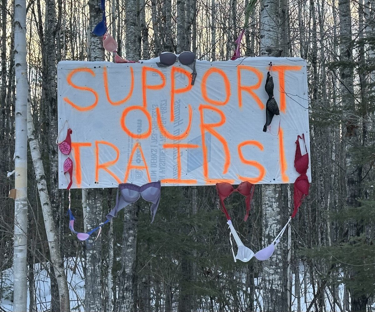
After many years of wanting to run this race, a few weeks ago I traveled to northern Minnesota to run the Arrowhead 135. While this race prides itself in being in the coldest part of the country at the coldest time of year, I could tell from the upcoming forecast that we were unlikely to see very cold temps this year. If anything, I would complain that it was too warm!

Icebox of the Nation? Not this year!

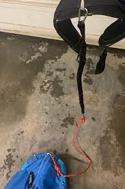
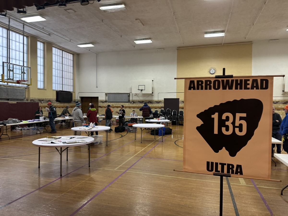
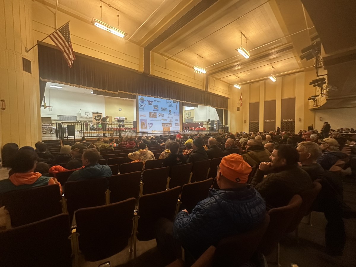
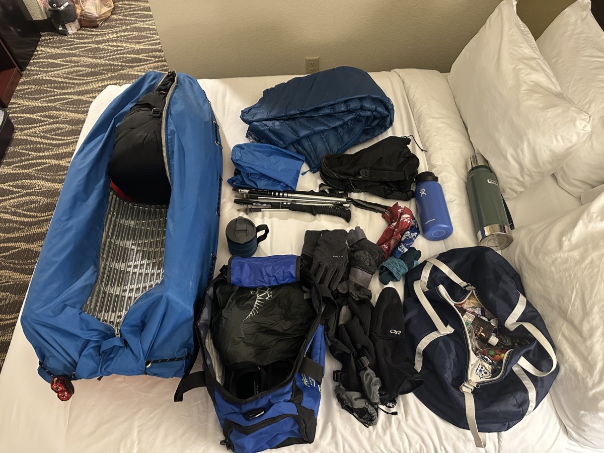
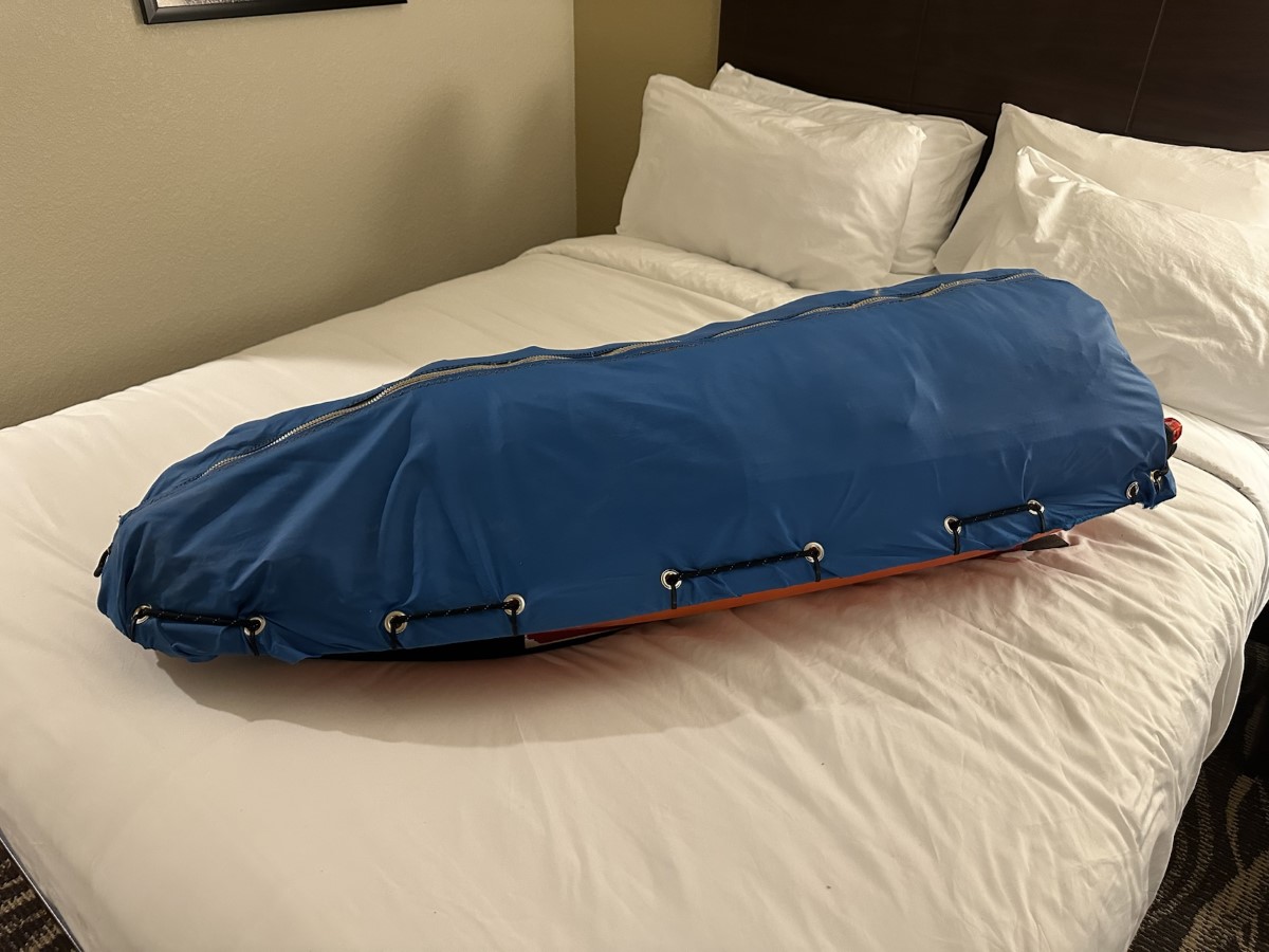
Taking a few steps back first, I arrived in International Falls on Saturday, with the race starting on Monday morning. This gave me time to do some last minute shopping for the race, and then get over to the mandatory gear check and pre-race meeting on Sunday. That night, I spent a few hours in my hotel room stressing over gear, making some last minute decisions on exactly what to carry with me, and getting my sled all packed up and ready for the morning.

Gear check
Pre-race meeting
Decisions, decisions.
All packed and ready to go!

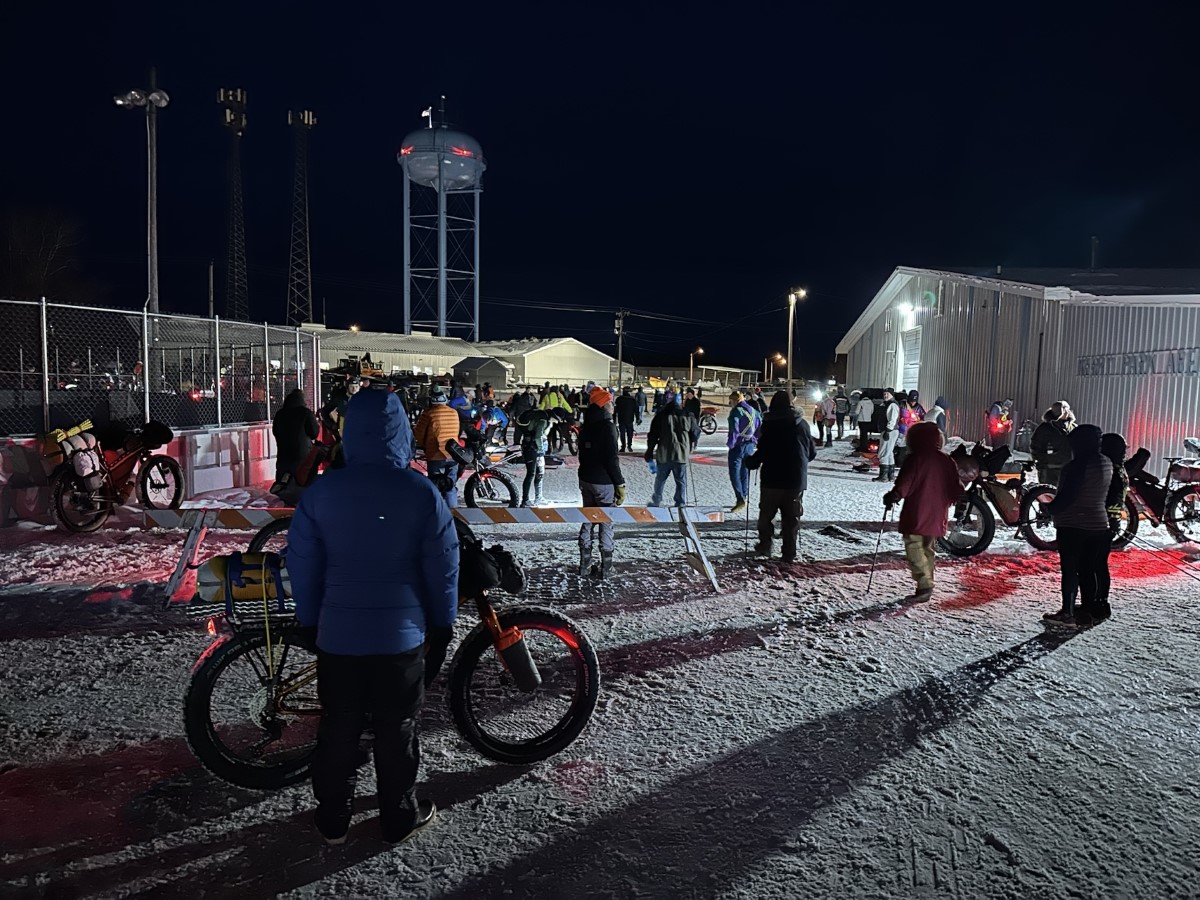
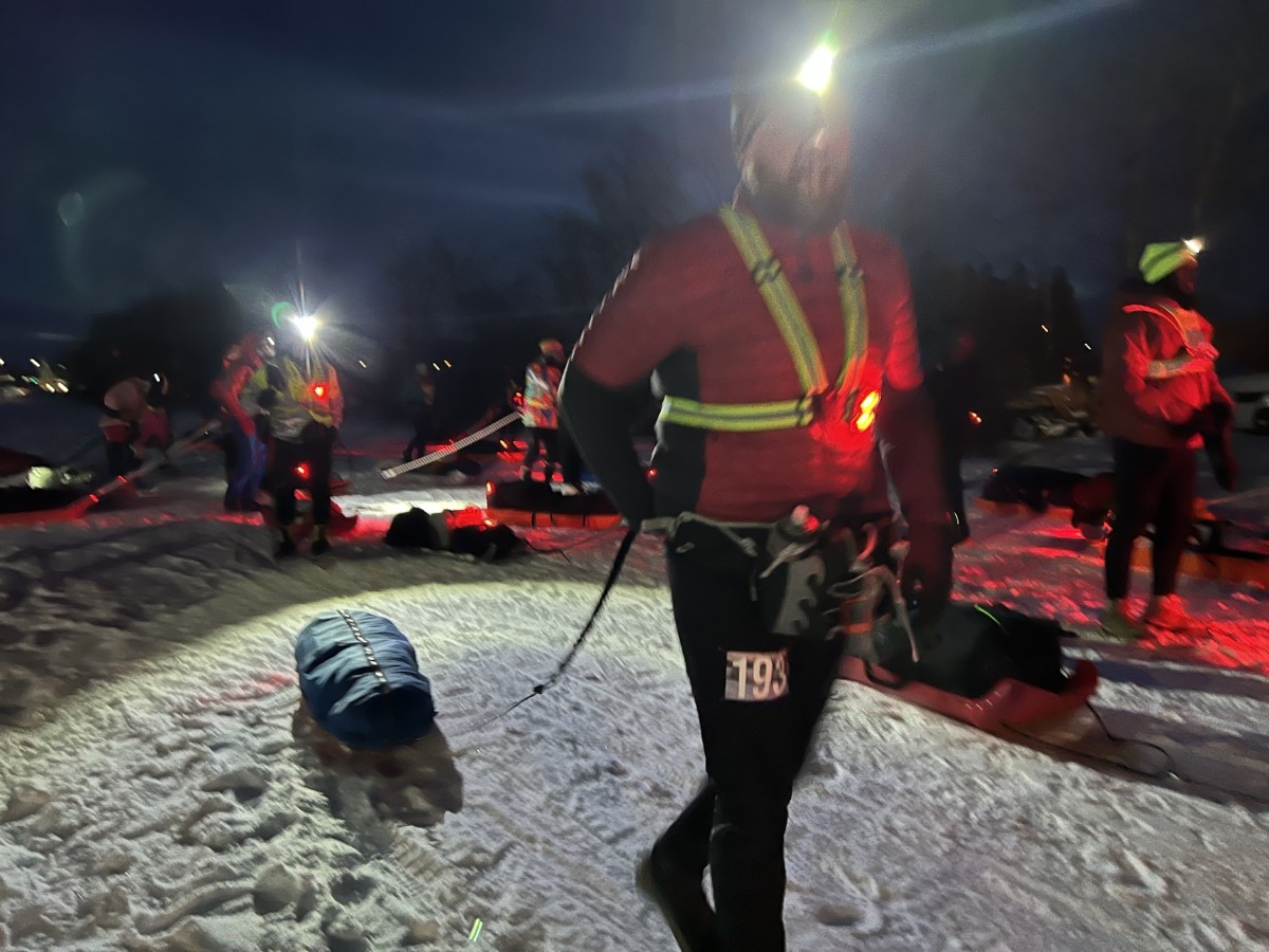
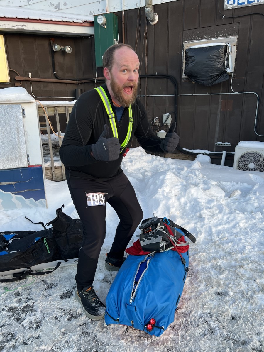
Bright and early Monday morning, all the racers were gathered at Kerry Park in International Falls, ready to embark on our 135 mile journey. The temp was about 22F, with a light breeze. Just about perfect, but I knew it would get warmer during the day once the sun came up. Just before 7AM, there are fireworks to celebrate, and then the race director shouts “release the hounds!” to send us all off down the trail.

I get so amped up and anxious before a race, I want the thing to just get started. After all the months of training, preparation, and planning, once the race actually starts all that stress and anxiety just melts away, and all there is left to do is run. All the hard work is done. The actual running of the race is the reward at the end of the long journey of getting to the starting line.

And I’m off!
Early miles are just a long string of blinking red lights. The first 9.5 miles was a straight shot without a single turn.

The first section is about 35 miles. Early on, everyone is bunched together pretty closely, and I talked to a number of different people as we took turns passing each other, settling into our own paces for the day. The trail is generally nice and firm, and the running is pretty easy. This first section is pretty flat, so if anything I have to force myself to slow down.

My wife joined me on this trip, although this race doesn’t allow for an actual “support” crew. She’s allowed to meet me at the checkpoints, which are certainly a mental pick-me-up, but she can’t actually provide me with any aid. There is a major road crossing around mile 18, where she met me to offer a quick cheer.

Highway 53 crossing around mile 18.
Quite possibly my favorite trail sign ever 🙂

By this point, it’s mid-day and the temp has raised up into probably the low 30s. The trail is still nice and firm, but the jacket I have on is proving to be too heavy, and I feel like I’m getting overheated and sweating too much. In these winter ultras, you have to keep on top of your moisture management. If you get too hot and sweaty during the day, then that sweat will quickly cool you down when the temps drop at night. So I took a quick stop to take my jacket off, and throw on a thin quarter-zip shirt.

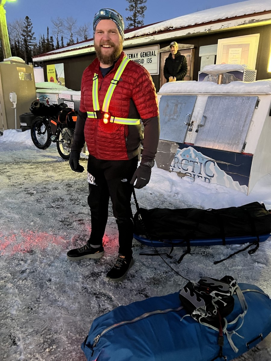
Before too much longer, I reached the first checkpoint at the Gateway General Store. I headed inside to warm up and get off my feet for a little while. One thing I like to do at winter ultras is to pack a smaller bag into my sled, that has everything I might want at the checkpoints, that I can easily grab and bring inside with me. This includes things like a change of shoes, extra socks, Body Glide, etc. For this race, I planned to change my socks at every checkpoint, and to change my shoes at the halfway point.

Excited to have made it to the first checkpoint. Only 100 miles to go!

The race only provides water at this first checkpoint, but racers are free to buy whatever they want from the general store. So while the wonderful volunteers were refilling my water, I bought a cup of soup and a soda. I knew that I would be heading into the night pretty soon, so I figured it would be good to get some caffeine in me.

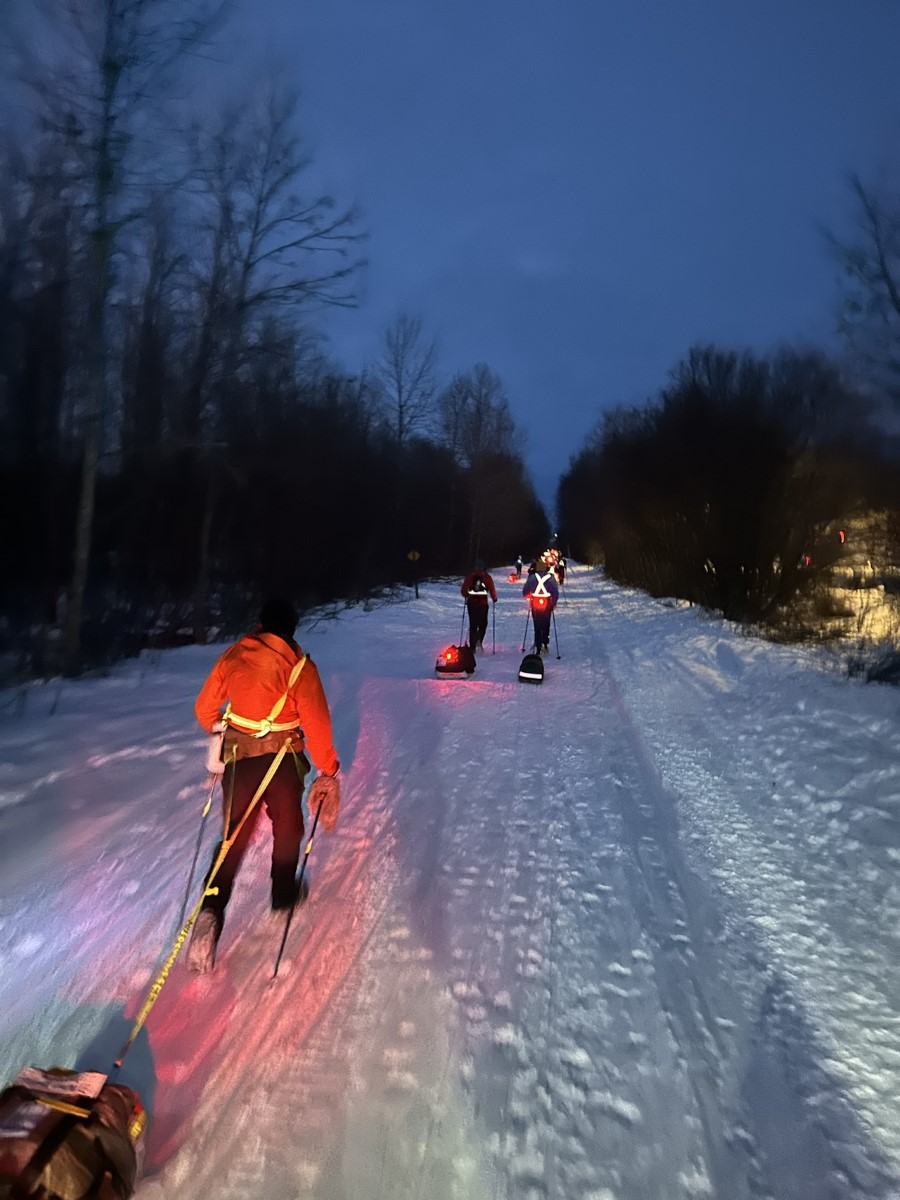
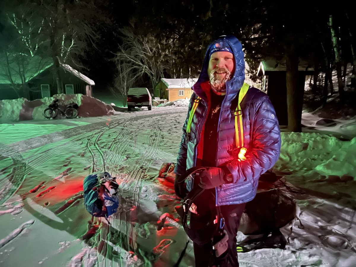
After just about an hour, I was headed out again. It was getting dark and the temp was already starting to drop, so I put my jacket back on, and pulled out my headlamp.

Ready to head out into the night.

This next section turned out to be rough. The trail started to get a bit hillier, but nothing too terrible. More than anything, I got super tired. I don’t think I’ve ever felt so sleepy during an ultra before. I normally don’t sleep during these races, and will have maybe 30 minutes or so that I feel sleepy and have to fight through that, but this feeling just kept going on and on. At one point I stopped and took a caffeine pill. Later I stopped again and made myself a cup of instant coffee (I had one of my bottles filled with hot water back at the first checkpoint). None of that seemed to help. I started sleep walking pretty bad. At one point I suddenly found myself just standing in the middle of the trail, not moving. Several times I snapped out of it just as I was walking off the side of the trail into a snow bank.

Eventually I mostly snapped out of this funk, and by then I was getting pretty close to the 2nd checkpoint at mile 70, at Melgeorge’s Lodge. The race has a large cabin rented out, where they are making warm food, and there are some beds if you want to take a nap. Earlier in the night I was thinking I’d need to take a nap here, but of course by the time I actually got there (I think it was around 5AM), I was actually feeling pretty good, and I knew the sun coming up soon would help.

Pulling into Melgeorge’s. The temp had dropped overnight, so I threw on another layer at some point.

Here I had a cup of soup, a grilled cheese sandwich, and several cups of Coke. I also changed my socks and shoes as planned. I kept my socks off for most of the time I was there to let my feet dry out, but overall they were in pretty good shape so far. They also allow drop bags at this checkpoint (food only), so I grabbed that to restock my sled. After about an hour again, I was headed back out. It was still dark outside, but I knew the sun would start coming up in about another hour.

I couldn’t resist snapping a pic when I hit 100 miles. This is the farthest I had ever gone before – I felt a bit like Samwise Gamgee at this point.

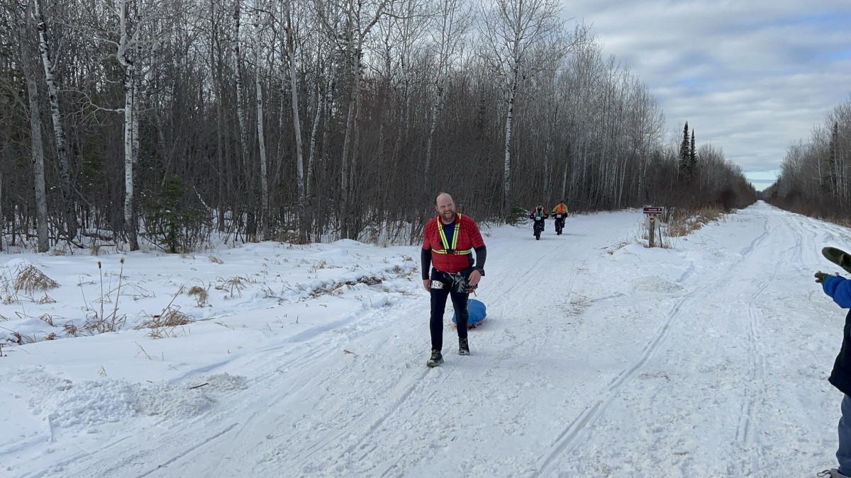
I was feeling awake and alert at this point, which was good, but this next section would turn out to be the most difficult of the entire race for me. First off, it’s the longest section between checkpoints (about 40 miles). It also warmed up a bunch during the day, and the snow was starting to get softer. To make matters worse, a trail groomer came through (twice – once in each direction), and just completely churned up the top couple inches of snow.

And then…came the hills. Lots of short, steep climbs that were difficult enough pulling the sled, made even harder by the mashed potato snow we were dealing with.

I was not mentally prepared for these hills!

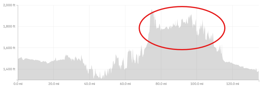
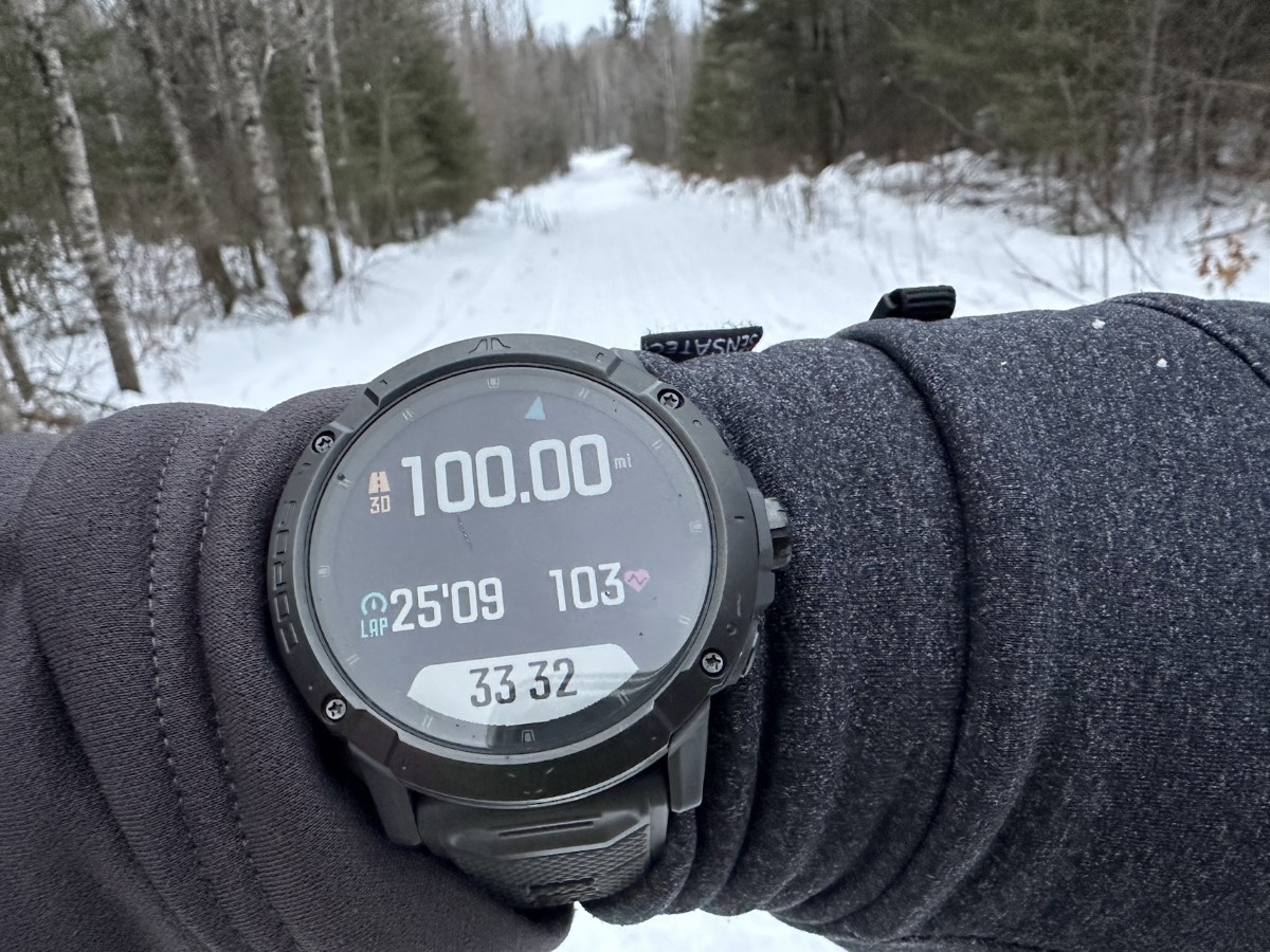
I started watching the elevation profile on my watch, counting the number of hills I had left until the 3rd and final checkpoint. Finally, I arrived at the Embark checkpoint at mile 110. This is a fairly no-frills checkpoint, with a large campfire burning and a heated canvas tent. No food but they did have several hot drink options. I headed inside the tent to sit down and get a good look at my feet. With how warm and churned up the snow was during the day, my feet had been wet for a considerable amount of time. I found that I had a few small blisters, but luckily nothing too concerning. I popped and drained them to relieve the pressure, and did my best to let me feet dry while I rested a bit.

I discovered that the shoes I had just changed into at the previous checkpoint were now wetter than the ones I had worn for the first 70 miles, so I decided to change back into those for the last section of the race. Once again, I stayed at this checkpoint for just about an hour before heading back out to face the final 25 miles. It was around 11PM, so I knew I would likely be in the dark the entire time. Before heading out, I made myself another instant coffee for a caffeine jolt. I could smell the finish line by this point, and I had no interest in taking a break to nap. I was told that there was really just one more big hill to climb shortly after leaving the checkpoint (affectionately named Wake ’em Up Hill), and then it was mostly flat to the finish.

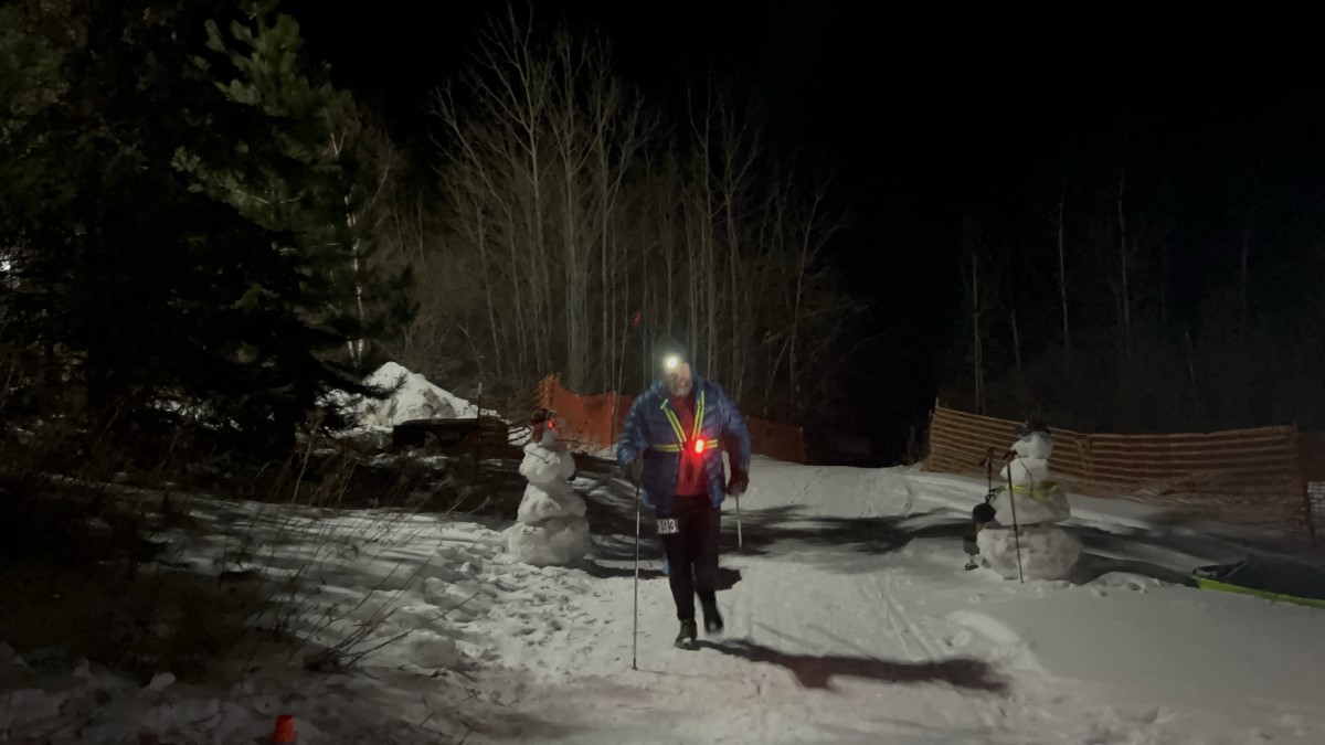
I was able to run a little bit here and there during this section, but mostly it was just power hiking. That being said, I felt like I was able to keep a pretty good pace, especially considering I was 110+ miles into this race, and going on 40+ hours with no sleep. I kept a close eye on my pace on my watch, using it as a distraction, and a way to keep me focused and alert as I went into the 2nd night. I was excited when I passed 2 other people on foot during this last section, and I just tried to keep focused on maintaining a brisk pace, and really making good use of my trekking poles.

As these last miles ticked by, the lack of sleep was really starting to get to me. I didn’t feel sleepy in quite the same way I did that first night, but I knew I needed to do something to keep me alert and moving well. The hallucinations were also getting pretty bad – nothing really crazy, but just seeing lots of things on the side of the trail that ended up being snow piles and tree branches. I don’t normally listen to music much during these races, but I knew I needed something to occupy my mind. So I popped in one earbud (I like to keep the other ear open so I can still hear what’s going on around me), and started singing out loud to every song that came on. This actually worked really well for me – the sleepiness was wearing off, although the hallucinations were still in full force 🙂

I started doing some mental math, and realized that if I could keep up my current pace, I could finish in under 48 hours. The final cutoff for the race is 60 hours, so this number really didn’t mean anything in the big scheme of things, but it was something to keep me motivated and to keep my mind occupied.

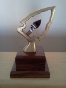
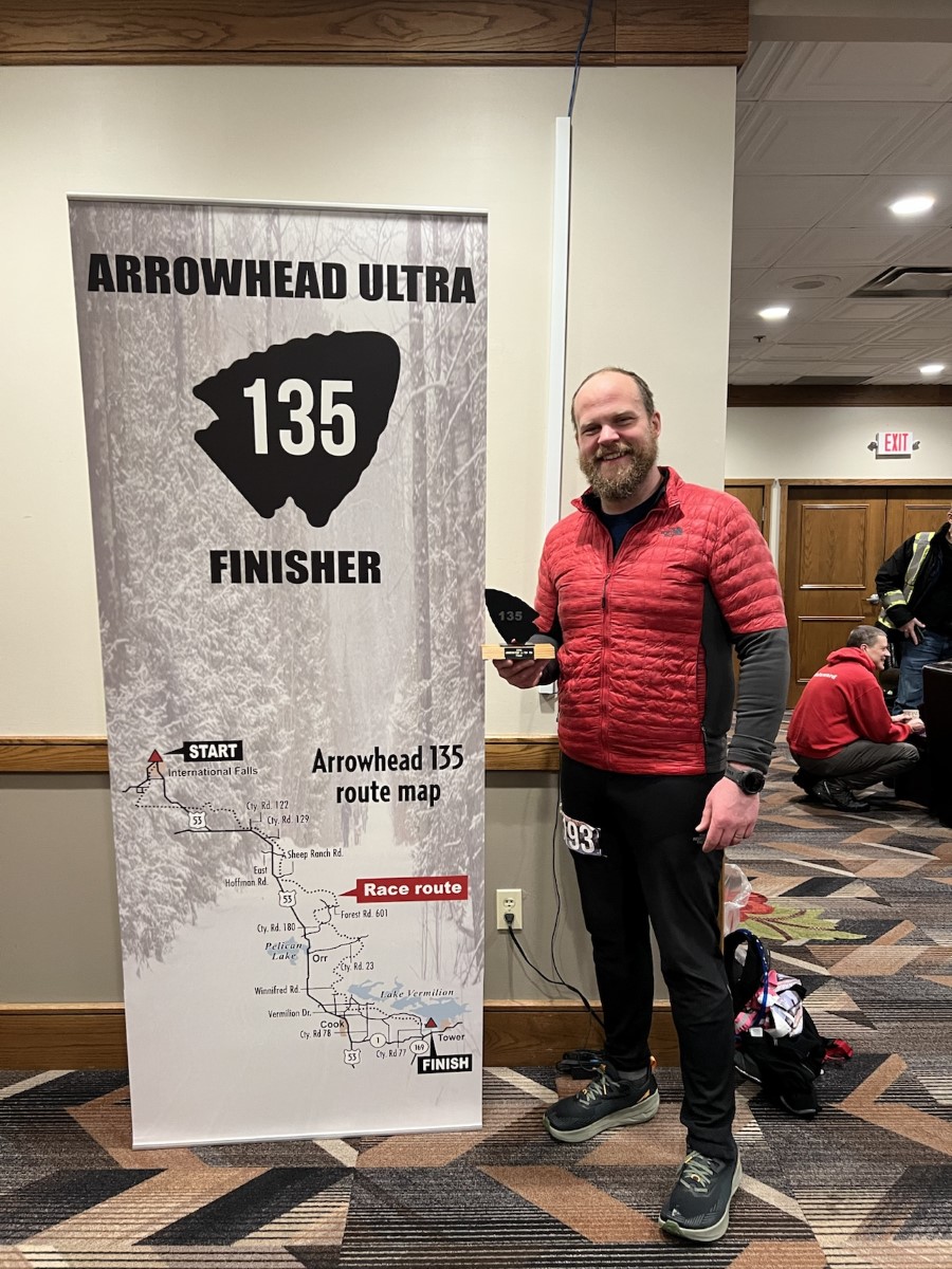
Eventually, I could see the lights of Fortune Bay Casino, and I know that my long journey was almost over. There are a few final twists and turns in the trail, and you don’t get there quite as quickly as you think you will. My wife must have caught a glimpse of my light, because I heard her screaming before I saw the finish line myself. But then it was there, and I picked up the pace a bit, and jogged into the finish. I crossed the finish line 47 hours and 21 minutes after leaving the start back in International Falls. I was 14th out of 40 finishers on foot (out of 74 who started).

Coming into the finish, with 2 snowmen cheering me in.

Everything about this race was great. The race directors, the volunteers, and the other racers were all fantastic. Even though I wasn’t a local, and came into this race not knowing anybody, it was easy to make friends on the trail, and people seemed excited to cheer on the guy from Alaska.

Preparing for the Arrowhead 135

At the end of January, I’ll be running the Arrowhead 135 in upstate Minnesota. I’ve been interested in running this race for probably 6-7 years now, but while my kids were younger, the logistics were more difficult (especially since the race starts on a Monday, which basically means I have to take the whole week off, once you factor in travel time). This year, I was finally able to make it happen, so I applied back in September and was excited to be accepted!

The Arrowhead 135 is considered one of the 50 toughest races in the world. It starts in International Falls, MN, which is basically on the border with Canada. It is one of the coldest parts of the U.S., with temps during the race regularly dipping to -40F and colder. As the name of the race implies, it is 135 miles, and there are only 3 checkpoints, so it is largely self-supported. There is a pretty generous 60 hour cutoff, but that could still prove difficult, depending on what the weather and trail conditions are like. Historically, there is only a 46% finish rate for those attempting the Arrowhead 135 on foot, and I certainly plan to be one of them. I may not be particularly fast, but I am stubborn 🙂

Similar to the Susitna 100, which I have run multiple times, I will be dragging a sled with all my supplies and required gear for the race. The list of required gear for Arrowhead is pretty similar to Susitna, with one notable addition being a stove and pot (presumably to melt snow if you run out of water between checkpoints).

This has been an interesting winter in Alaska so far. We had a decent dump of snow early on, but then in early December it warmed up into the 40s and rained a bunch, so now we’re left with barely a dusting of snow in many places, along with lots of ice. This has made it tricky to get in much training with my sled, but considering the number of times I’ve run Susitna, I’m not too concerned about that. I’ve just been trying to focus on getting in lots of miles, as well as complimenting that with strength training, something that I’ve been doing regularly this training block for the first time. This will be my longest race yet, so I want to be sure I’m ready. I DNF’d the Denali 135 this past summer (I stopped around 100k with bad Achilles pain), and I certainly don’t want a repeat of that.

I’m super excited to finally get to run this race. Besides the experience of the race itself, it’s hard not to get excited about a finisher award as awesome as this!

Finisher award for the Arrowhead 135 race, featuring a stone arrowhead mounted inside of a metal arrowhead outline, all mounted on a dark wooden block.

Golden Hour Adventures Podcast

I recently had the pleasure of being a guest on the Golden Hour Adventures podcast, where we talked mostly about winter ultrarunning. One of the hosts, Justin, is a fellow Alaskan ultrarunner from Fairbanks, best known for his Instagram persona @running_in_stache. We had somewhat known each other before, but we first officially met back in March at the White Mountains 100, which we both were running. We hadn’t made plans to run together, but around mile 30 we found ourselves running around the same pace and ended up sticking together for the rest of the race. It was fun to catch up and talk about winter running, including my sled setup.

Long Lake Loop

Not all those who wander are lost…but we are.

It’s been a hot minute since I’ve written anything here. I’ve often felt like I don’t have anything “interesting” enough to write about, but I’ve been feeling the pull to write lately, so I figured I would at least start with some of the more interesting adventures I’ve been on recently. I’m going to start filing these under Adventure Reports, and we’ll see how well that works to scratch my writing itch.

Anyways, this ended up being one of those runs, where you head out expecting it to be maybe 5-6 hours in the mountains, but then turns into 8+ hours. I hesitate to say that we were ever lost per se, because I always knew where we were in at least a general sense, but much bush whacking and route finding was involved.

This adventure started at the Glen Alps trailhead with my friends Jess and Angie. The plan was to head back past Williwaw Lakes, climb through a mountain pass where we could drop down behind Long Lake, and then run out that valley up and over Near Point, where we could then meet up with the Middle Fork trail to take us back to Glen Alps. How does that saying go about the best laid plans?

Williwaw Valley
The valley heading back to Williwaw Lakes.

The trail back to Williwaw Lakes is always a fun run. We had a particularly rainy summer, so the trail was quite wet and muddy in spots. By the time you get back to the lakes, the trail starts to meander more and is less defined and more difficult to follow. There are also several water crossings from multiple creeks converging and running into the lakes.

Crossing a creek near Williwaw Lakes
One of many water crossings that we’ll encounter on this route.

As we began to climb on the backside of the lakes, we passed several other smaller lakes, which I believe are still considered part of the collective “Williwaw Lakes”. I’m not entirely sure on that, but they were not labelled with individual names on any of the maps that I looked at.

Unnamed lake
Another of the “Williwaw Lakes”? With Mount Williwaw in the background.

As we approached the top of the pass, we passed a herd of mountain goats that kept an eye on us, but overall didn’t seemed too concerned about our presence there. Then at the top of the pass, we were faced with a decision on how to get down. The obvious route was a very steep downhill that looked a bit sketchy, but luckily we found another trail that took a more roundabout route of getting down to Long Lake.

Herd of mountain goats
These mountain goats eyeballed us as we climbed past, but were otherwise unimpressed with us.
At the top of the pass looking down
At the top of the pass, assessing our options for getting down. It’s hard to tell from this wide angle photo, but the route down on the left is extremely steep.

Once we made it down, the trail follows a rocky shoreline along Long Lake. This made for somewhat slow going, as the trail switched between being somewhat runnable, and slowly picking a route through larger rocks.

Rocky shoreline along Long Lake
Most of the shoreline along Long Lake is rocky and makes for slow-going.

After we passed the lake is when things started to really get interesting. It’s clear that this area is not super well trafficked, as the trail kept getting less and less defined, even suddenly disappearing at time, only to pick up again a few hundred feet later. At this point we were essentially just following loosely defined game trails. We started making comparisons about the subtle differences of what constitutes a “hint” versus a “whisp” of a trail.

One section was particularly difficult to navigate, where we kept criss-crossing a creek and repeatedly lost the trail. There were several times where we thought we could see a trail on the other side of the creek, so we crossed only to find no trail. I also had the Gaia app on my phone, but where it showed the trail being didn’t match up to reality. You can see on the map below where we crossed back and forth several times, and even had to backtrack after giving up on a “whisp” of a trail that disappeared on us.

Map showing our route finding fun
Route finding is fun!
This is the creek that we crossed multiple times
Here’s the creek we crossed multiple times trying to find our way. The fog rolling in certainly didn’t help with visibility.

We eventually found our way back to a “real” trail, and then started our climb up the backside of Near Point. This was much better known territory, and felt like the end of our route finding, but we were still in for one last surprise. I know of 2 routes down Near Point, one that is quite steep and another that’s more gradual (and technically a 3rd, but that one goes to a different trailhead in the wrong direction). Since we were all feeling pretty tired at that point, I thought the more gradual descent would be the better choice. I’ve taken that route in years past, but apparently it isn’t well travelled anymore. It wasn’t too long before we found the trail horribly overgrown and quickly disappearing on us again. Before we knew it, we were in thick alders that made any travel difficult. It got so bad at one point, that all we could do was laugh at the ridiculousness of the situation. We even joked about how humiliating it would be if we had to call for rescue so close to a trailhead.

Luckily, this time my Gaia app came to the rescue, and I was able to use it to help navigate us over to the steeper (but well used!) trail. It was so nice to actually be able to run again. At this point we were pretty physically and mentally exhausted, so as we approached the Prospect Heights trailhead, I called my son to come bail us out early – it sure is nice having a teenager that can drive!

This may not have been quite the adventure we planned or expected, but it’s the adventure we got, and sometimes those are the ones that create the best memories. I told Jess and Angie that I very much appreciate their friendship, and that they’re willing to go on adventures like this with me, and still talk to me the next day 🙂

Here’s the full map of our route, starting from Glen Alps and ending at Prospect Heights. We covered 20 miles with around 3,800 feet of climbing. Download the GPX.

Preparing for My 5th Run at Susitna 100

Coming up this weekend will be my 5th year running the Susitna 100. After shortening the race to 50 miles last year due to COVID, it will be great to be back to the full course this year – although COVID is still complicating things, closing one of the primary checkpoints, and causing a large section of the race to be re-routed.

As usual, the week or so leading up to a race I turn into an amateur meteorologist, closely watching what the weather is doing. Suffice it to say, this is the not the forecast you want to see leading up to your race:

This year is shaping up to be a repeat of the 2019 sufferfest. One thing I’ll do differently this year is bring my Neos overboots (the experience of 2019 is what prompted me to get them in the first place). I’ll also bring poles, which will be useful with the amount of hiking I’ll likely be doing. I would think about bringing snowshoes, but since I haven’t trained with them, I think they would just slow me down too much.

I have made one big change to my sled setup this year. In the past I’ve always used a rigid pole to connect my belt to the sled, mainly to keep the sled from running into me. Recently, I was running with some friends who are all veterans of the 350 mile Iditarod Trail Invitational, and they swore by using a slack line instead, for several reasons. With a rigid pole, your hips really get pushed around with the weight of the sled, which can really start to cause back pain as you get further into the race. For a race like Susitna that is relatively flat, there really aren’t too many places where you have to worry about the sled running into you. You just have to be aware of those, and grab onto the line and “walk” your sled down the hill.

my sled connected to the belt with a slack line
The top black section of my slack line is a bungee that’s meant for tying a boat to a dock, to give the whole setup some elasticity, and then just some regular rope to give me a total length of about 6 feet.

The biggest game changer for me is the ability to just turn around and get into my sled without having to completely undo my belt. Especially when it’s really cold, it gets increasingly difficult to do anything that requires fine motor skills like messing with my belt, or zipping/unzipping a jacket. There are times when I’ll go longer than I should getting into my sled for things like food, water, or extra layers of clothes, simply because I don’t want to deal with the hassle, or have my hands get even colder than they already are. I’ve done several long runs with this new setup, and I’m a big fan.

Considering the likelihood of lots of snow and poor trail conditions, this week I’m working on mentally preparing myself for a long slog out there. I’m gathering lots of my favorite trails snacks, and loading up my iPod with plenty of good music and podcasts to help pass the hours.