Not all those who wander are lost…but we are.
It’s been a hot minute since I’ve written anything here. I’ve often felt like I don’t have anything “interesting” enough to write about, but I’ve been feeling the pull to write lately, so I figured I would at least start with some of the more interesting adventures I’ve been on recently. I’m going to start filing these under Adventure Reports, and we’ll see how well that works to scratch my writing itch.
Anyways, this ended up being one of those runs, where you head out expecting it to be maybe 5-6 hours in the mountains, but then turns into 8+ hours. I hesitate to say that we were ever lost per se, because I always knew where we were in at least a general sense, but much bush whacking and route finding was involved.
This adventure started at the Glen Alps trailhead with my friends Jess and Angie. The plan was to head back past Williwaw Lakes, climb through a mountain pass where we could drop down behind Long Lake, and then run out that valley up and over Near Point, where we could then meet up with the Middle Fork trail to take us back to Glen Alps. How does that saying go about the best laid plans?
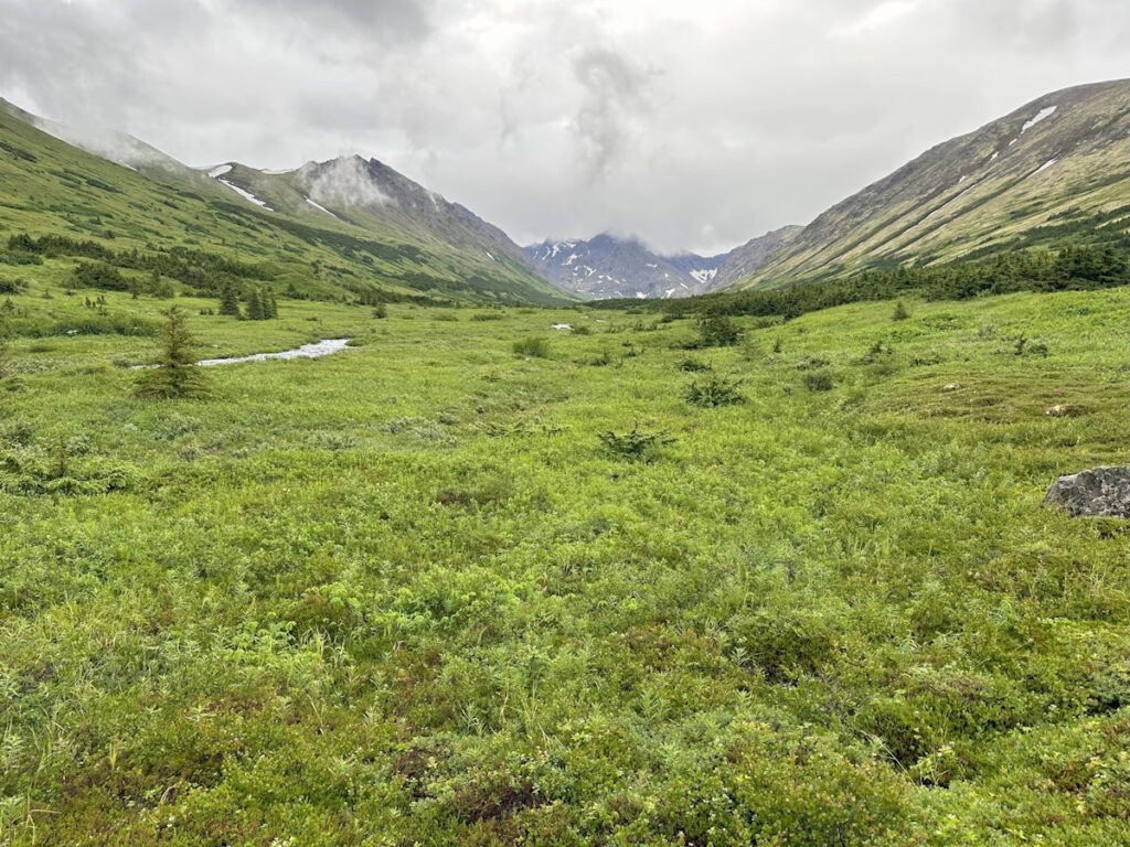
The trail back to Williwaw Lakes is always a fun run. We had a particularly rainy summer, so the trail was quite wet and muddy in spots. By the time you get back to the lakes, the trail starts to meander more and is less defined and more difficult to follow. There are also several water crossings from multiple creeks converging and running into the lakes.
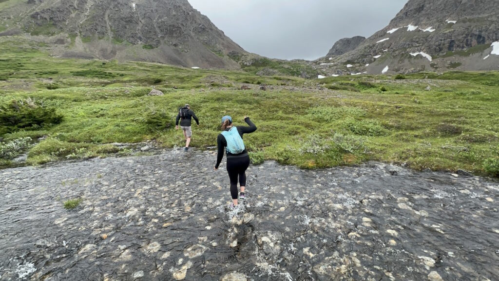
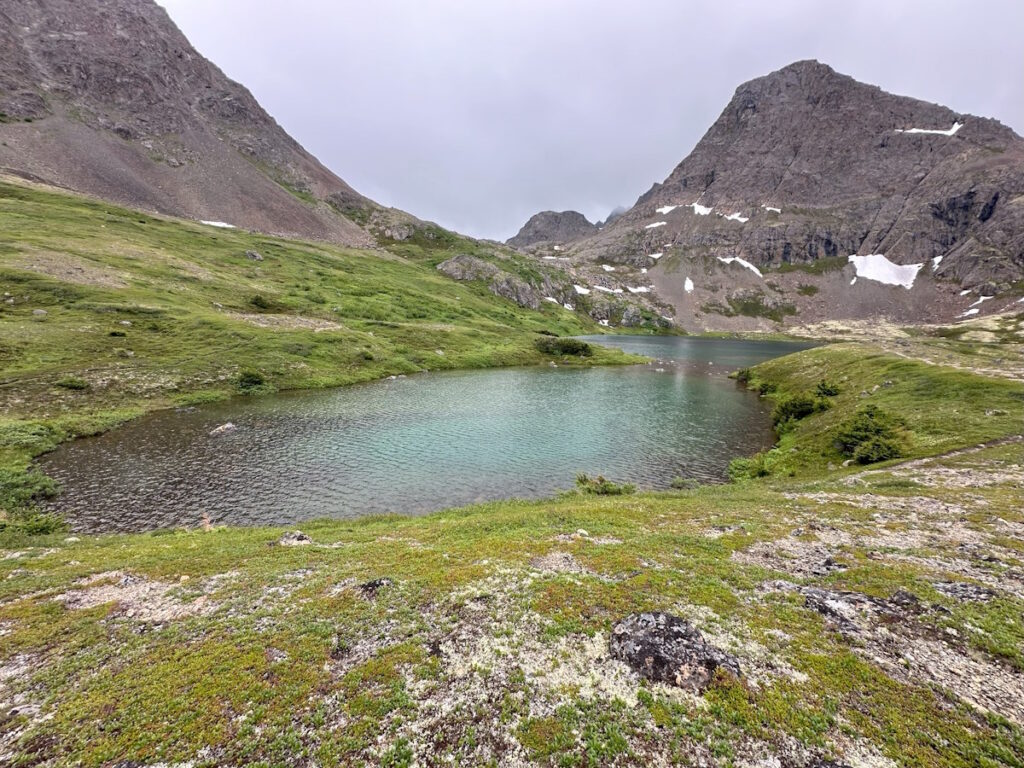
As we began to climb on the backside of the lakes, we passed several other smaller lakes, which I believe are still considered part of the collective “Williwaw Lakes”. I’m not entirely sure on that, but they were not labelled with individual names on any of the maps that I looked at.
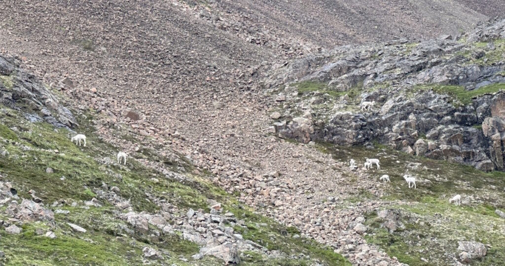
As we approached the top of the pass, we passed a herd of mountain goats that kept an eye on us, but overall didn’t seemed too concerned about our presence there. Then at the top of the pass, we were faced with a decision on how to get down. The obvious route was a very steep downhill that looked a bit sketchy, but luckily we found another trail that took a more roundabout route of getting down to Long Lake.
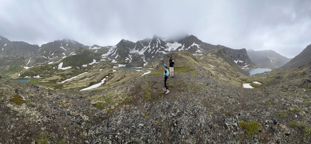
Once we made it down, the trail follows a rocky shoreline along Long Lake. This made for somewhat slow going, as the trail switched between being somewhat runnable, and slowly picking a route through larger rocks.
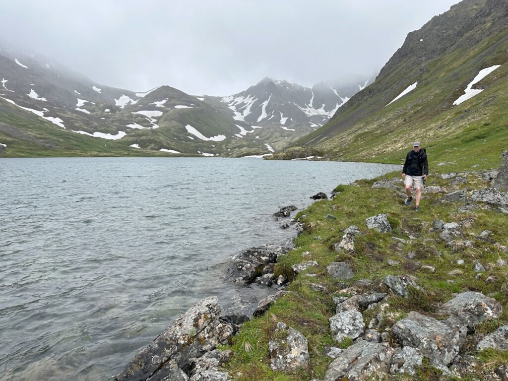
After we passed the lake is when things started to really get interesting. It’s clear that this area is not super well trafficked, as the trail kept getting less and less defined, even suddenly disappearing at time, only to pick up again a few hundred feet later. At this point we were essentially just following loosely defined game trails. We started making comparisons about the subtle differences of what constitutes a “hint” versus a “whisp” of a trail.
One section was particularly difficult to navigate, where we kept criss-crossing a creek and repeatedly lost the trail. There were several times where we thought we could see a trail on the other side of the creek, so we crossed only to find no trail. I also had the Gaia app on my phone, but where it showed the trail being didn’t match up to reality. You can see on the map below where we crossed back and forth several times, and even had to backtrack after giving up on a “whisp” of a trail that disappeared on us.

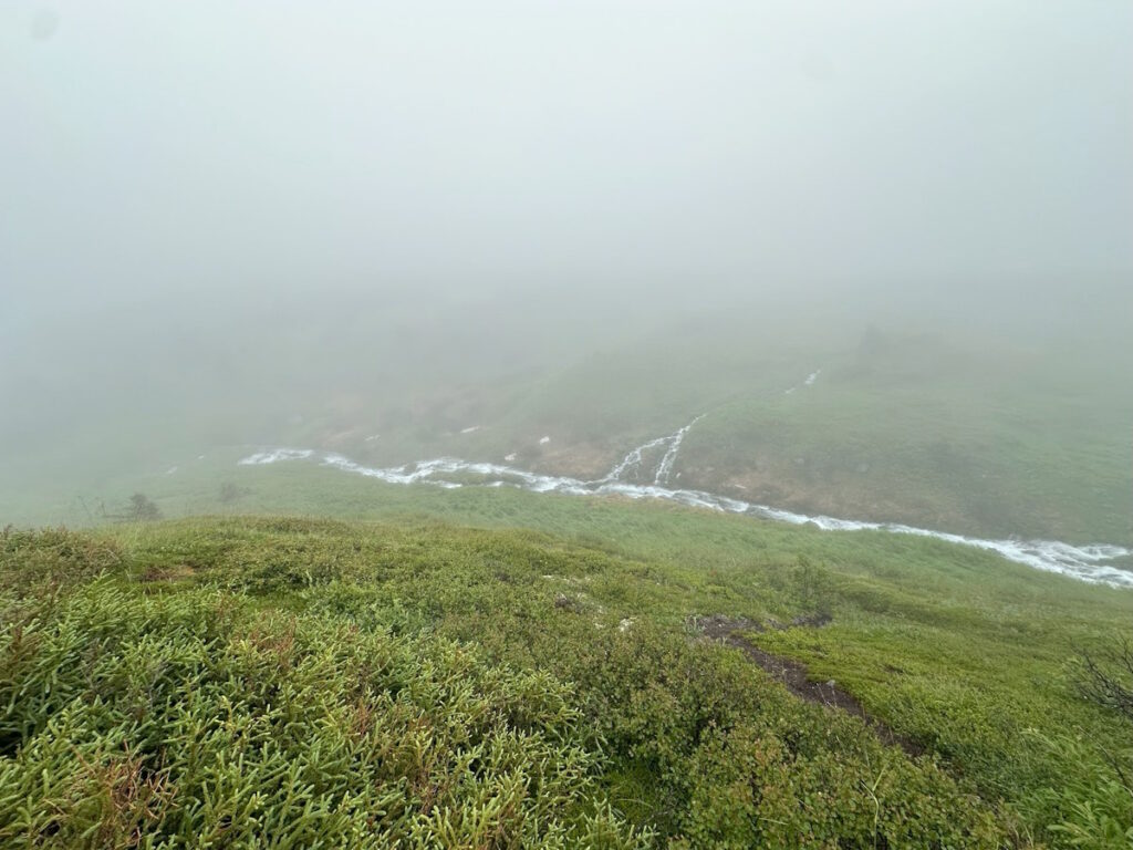
We eventually found our way back to a “real” trail, and then started our climb up the backside of Near Point. This was much better known territory, and felt like the end of our route finding, but we were still in for one last surprise. I know of 2 routes down Near Point, one that is quite steep and another that’s more gradual (and technically a 3rd, but that one goes to a different trailhead in the wrong direction). Since we were all feeling pretty tired at that point, I thought the more gradual descent would be the better choice. I’ve taken that route in years past, but apparently it isn’t well travelled anymore. It wasn’t too long before we found the trail horribly overgrown and quickly disappearing on us again. Before we knew it, we were in thick alders that made any travel difficult. It got so bad at one point, that all we could do was laugh at the ridiculousness of the situation. We even joked about how humiliating it would be if we had to call for rescue so close to a trailhead.
Luckily, this time my Gaia app came to the rescue, and I was able to use it to help navigate us over to the steeper (but well used!) trail. It was so nice to actually be able to run again. At this point we were pretty physically and mentally exhausted, so as we approached the Prospect Heights trailhead, I called my son to come bail us out early – it sure is nice having a teenager that can drive!
This may not have been quite the adventure we planned or expected, but it’s the adventure we got, and sometimes those are the ones that create the best memories. I told Jess and Angie that I very much appreciate their friendship, and that they’re willing to go on adventures like this with me, and still talk to me the next day 🙂

